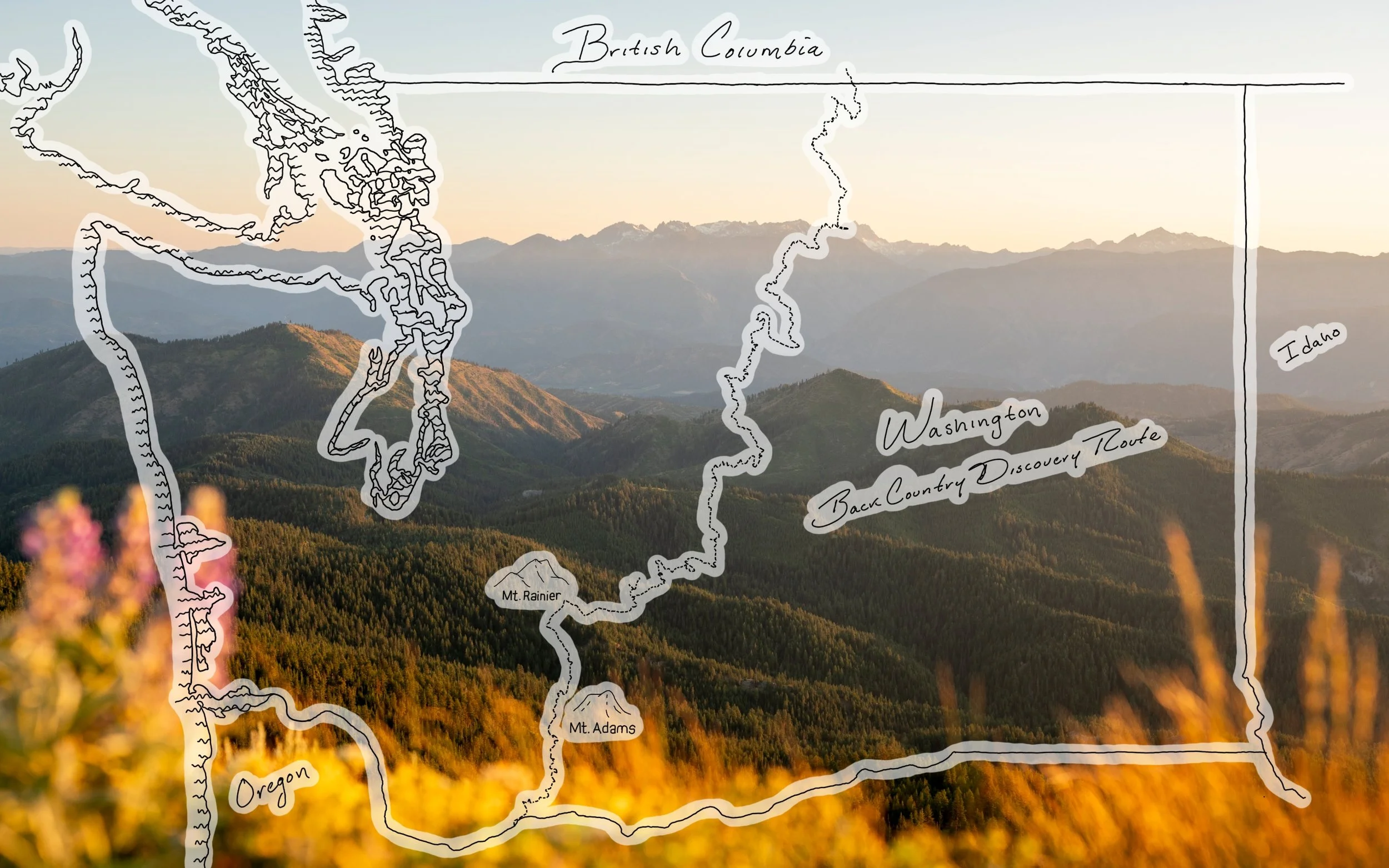
Driving the Washington Backcountry Discovery Route (WABDR)
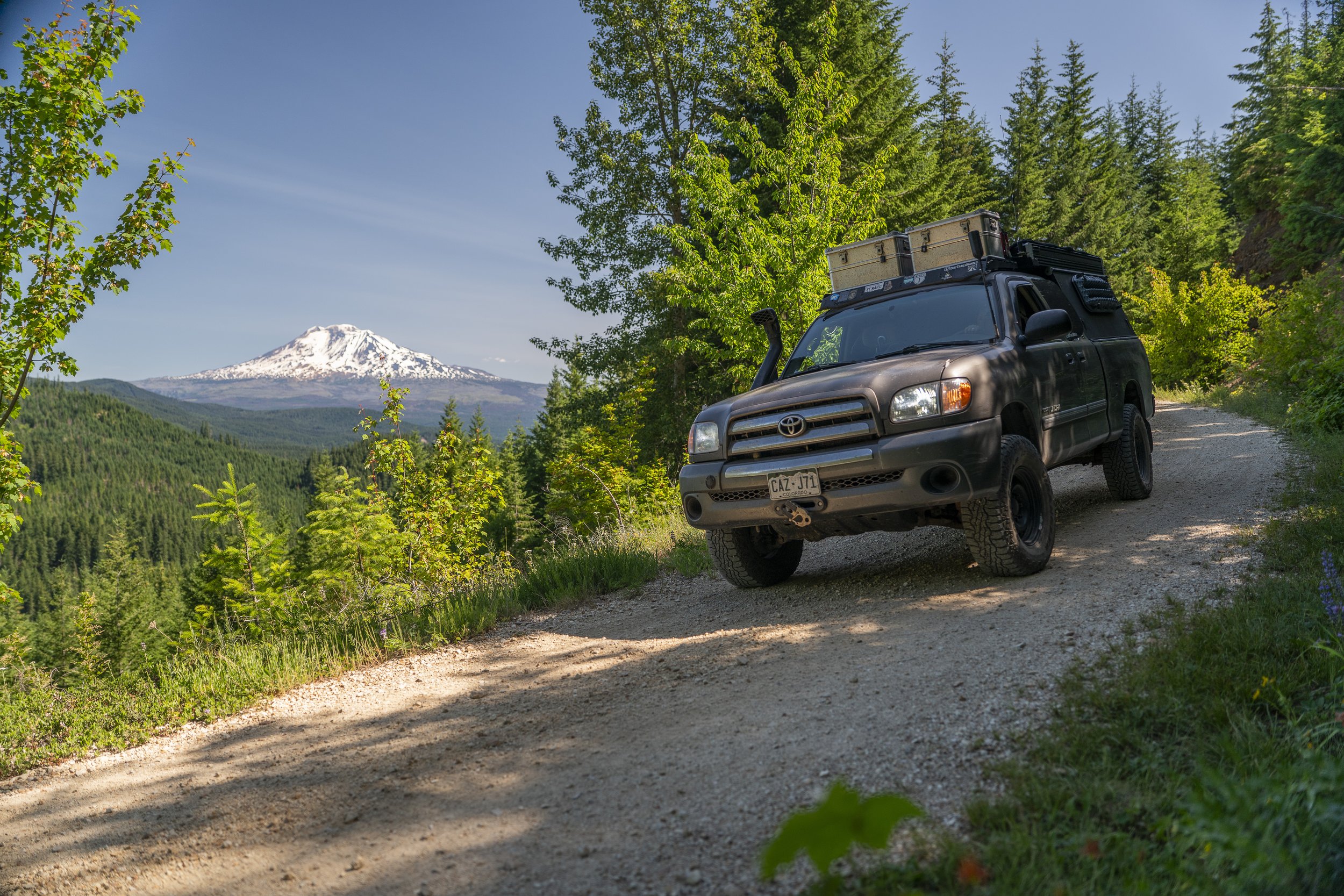
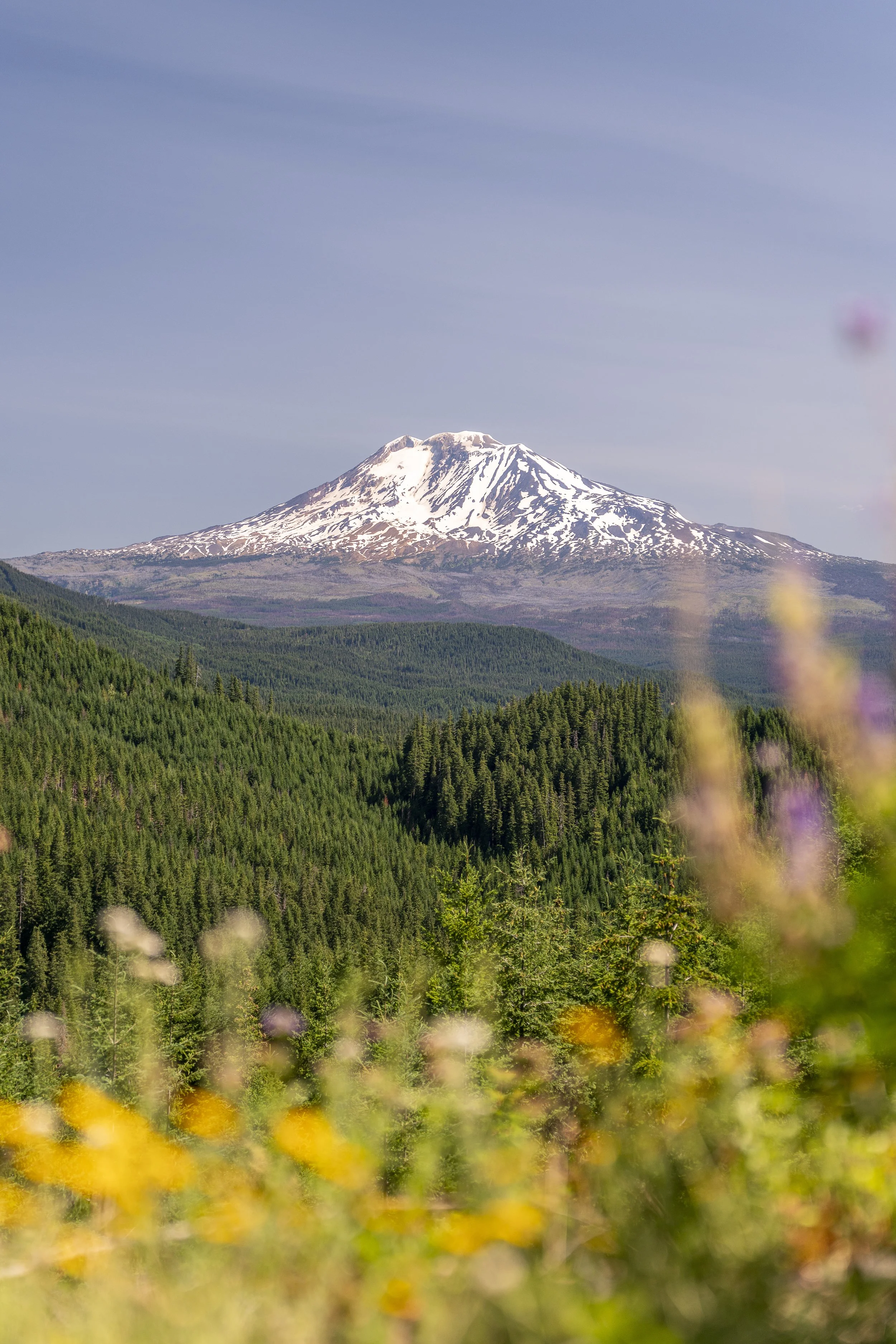
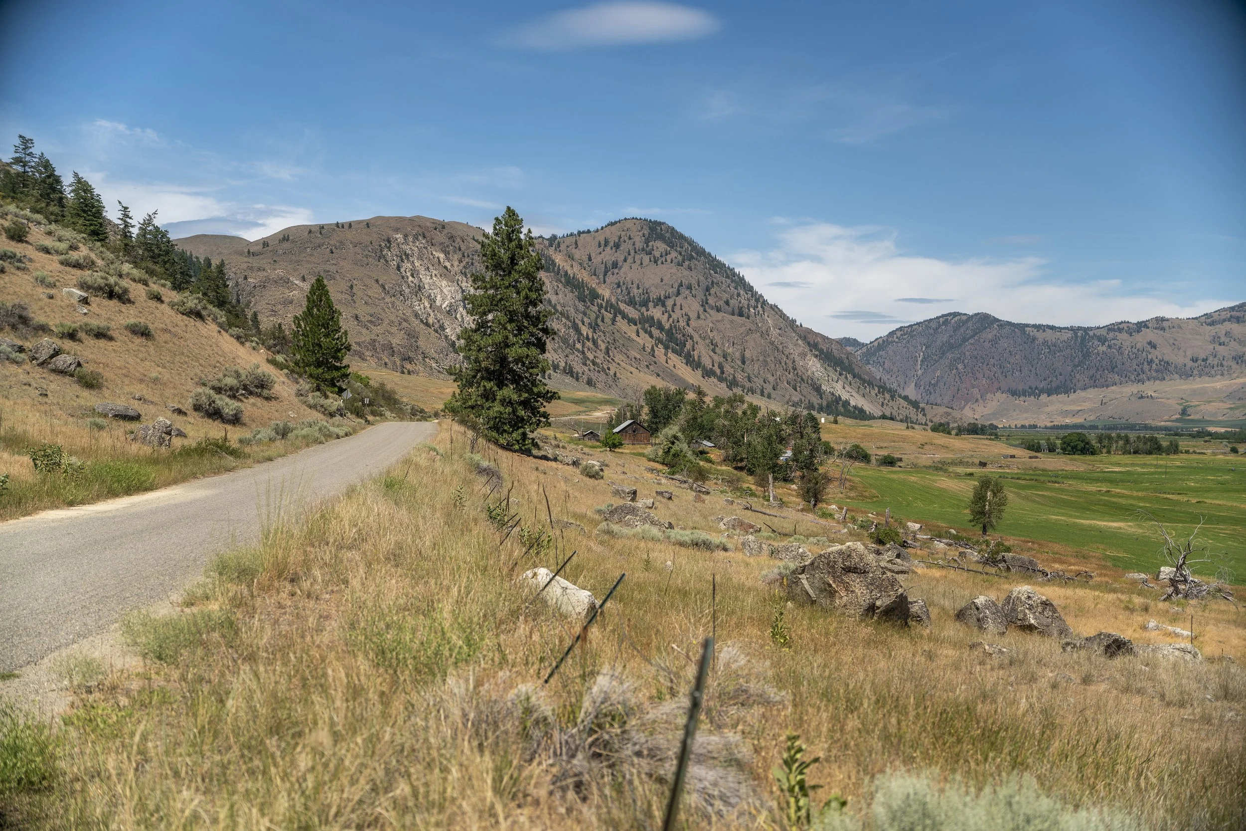
In early July of 2025, we set off to drive the Washington Backcountry Discovery Route (WABDR). Over the course of 10 days, we ended up driving 669 miles from the southern border of Washington to the Canadian border. The route took us through incredibly diverse and beautiful landscapes with stunning views of snowy volcanoes, dense pine forests, rugged ridge lines, and arid grasslands.
You’d think we had this trip all planned out, but the truth is, we decided to drive the route fairly last minute with little to no planning. After attending Overland Expo PNW, we had a few open weeks before heading back to Montana to spend some time with family and it felt like the perfect time to tackle a BDR in the Pacific Northwest and see what this corner of the country has to offer.
In this post, we’re sharing how we tackled the route, what gear and resources we relied on, and what we’d do differently next time.


What is the Washington BDR?
The Washington Backcountry Discovery Route (WABDR) is a 575 mile mostly off-road route that runs south to north through the Cascade Mountains, starting in Stevenson, WA, and ending at Nighthawk on the Canadian border. The route was established by the non-profit organization, Backcountry Discovery Routes (BDR) and they offer a ton of great resources and information for those looking planning a trip.
The official route is broken up into 6 sections and follows dirt roads, gravel, double-track, and some pavement. While the BDRs are primarily designed for adventure motorcycles, many of them are doable in a 4x4 vehicle, including the WABDR.


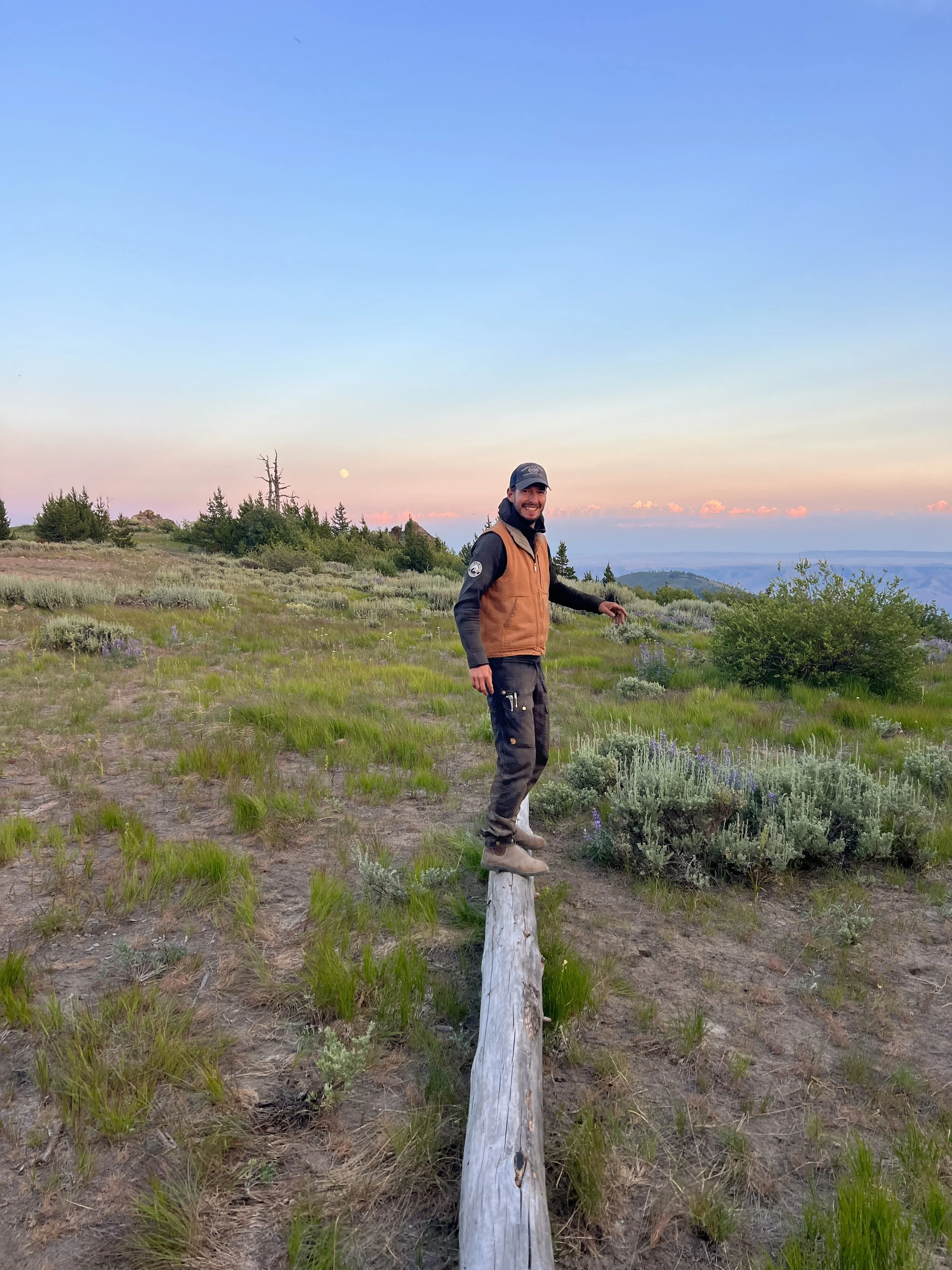
Timing & Pace
A snapshot of our mileage, driving time and sections covered per day on the WABDR.
Before starting the route, we knew that we had about two weeks (in early July) to complete the WABDR and in our cursory research, the official WABDR page says that most riders complete the route in 5-6 days. “Great, we can do that no problem” we thought. But we should have remembered that we’d be moving much more slowly in a 4x4 rig (than on a moto) plus stopping to take photos/video along the way.
We ended up driving an average of 60 off-road miles every day for 10 days in a row which in retrospect is a lot, and significantly faster than we normally like to travel. This is our main lesson learned that we’ll get into later in this post. 😅
Navigation & Camping
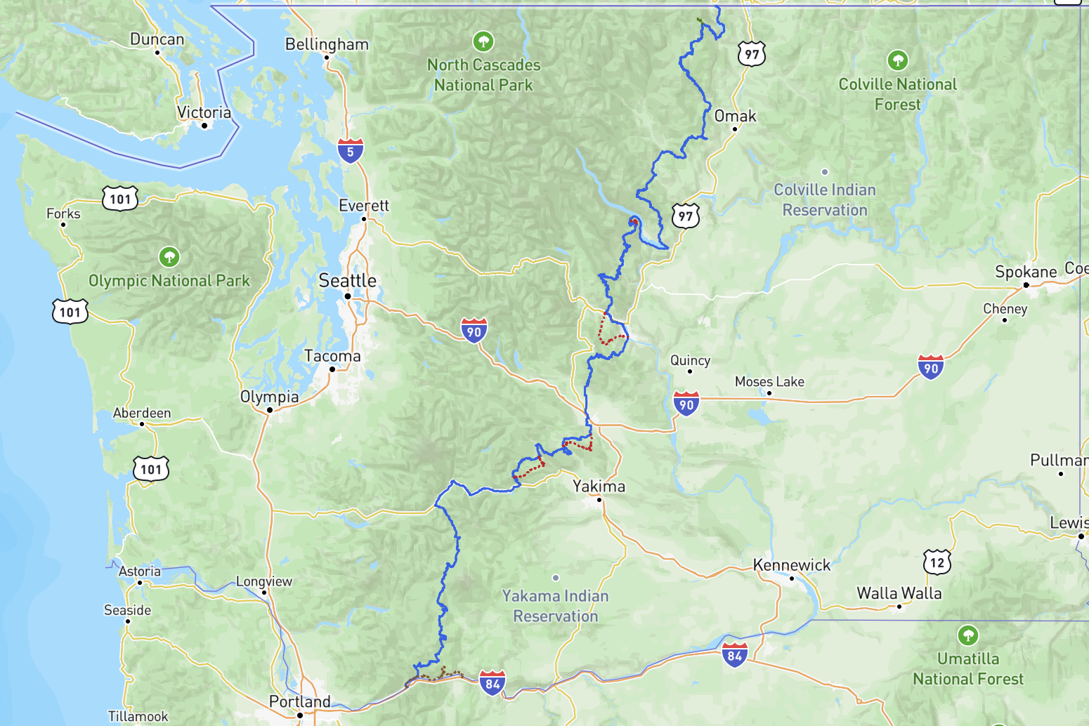
Before we hit the trail, we downloaded the GPX route and waypoints from the WABDR website and downloaded our offline maps in Gaia GPS which we relied on as our primary source of truth for navigating along the route.
Although we’d done little to no planning, (which is not something that we necessarily advise) we knew that we’d be able to use our Starlink internet to continue researching the route ahead each night when we would set up camp. We referenced the WABDR interactive map quite a bit for suggestions on points of interest and also used satellite view on Google Maps to scout out potential camping spots.


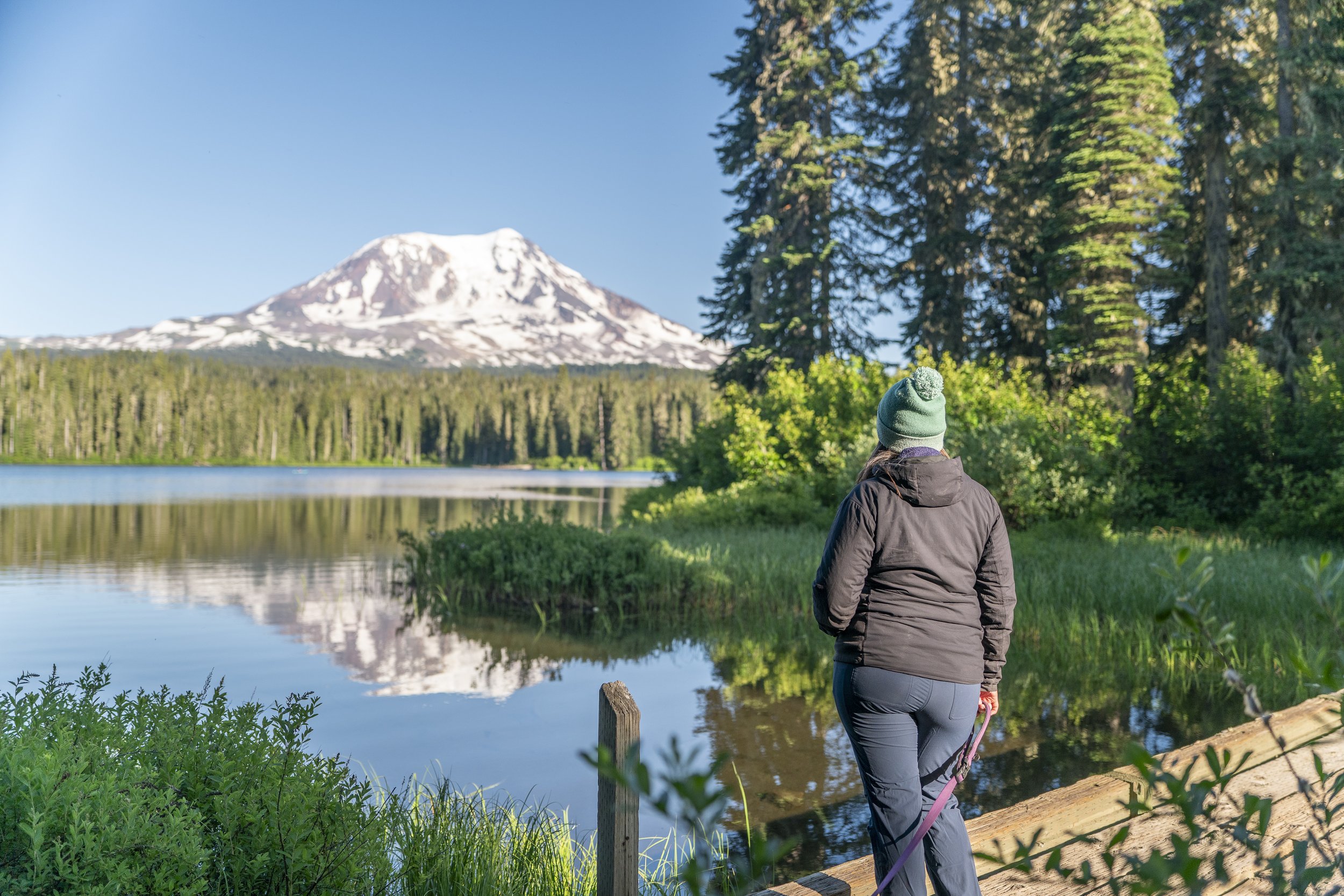
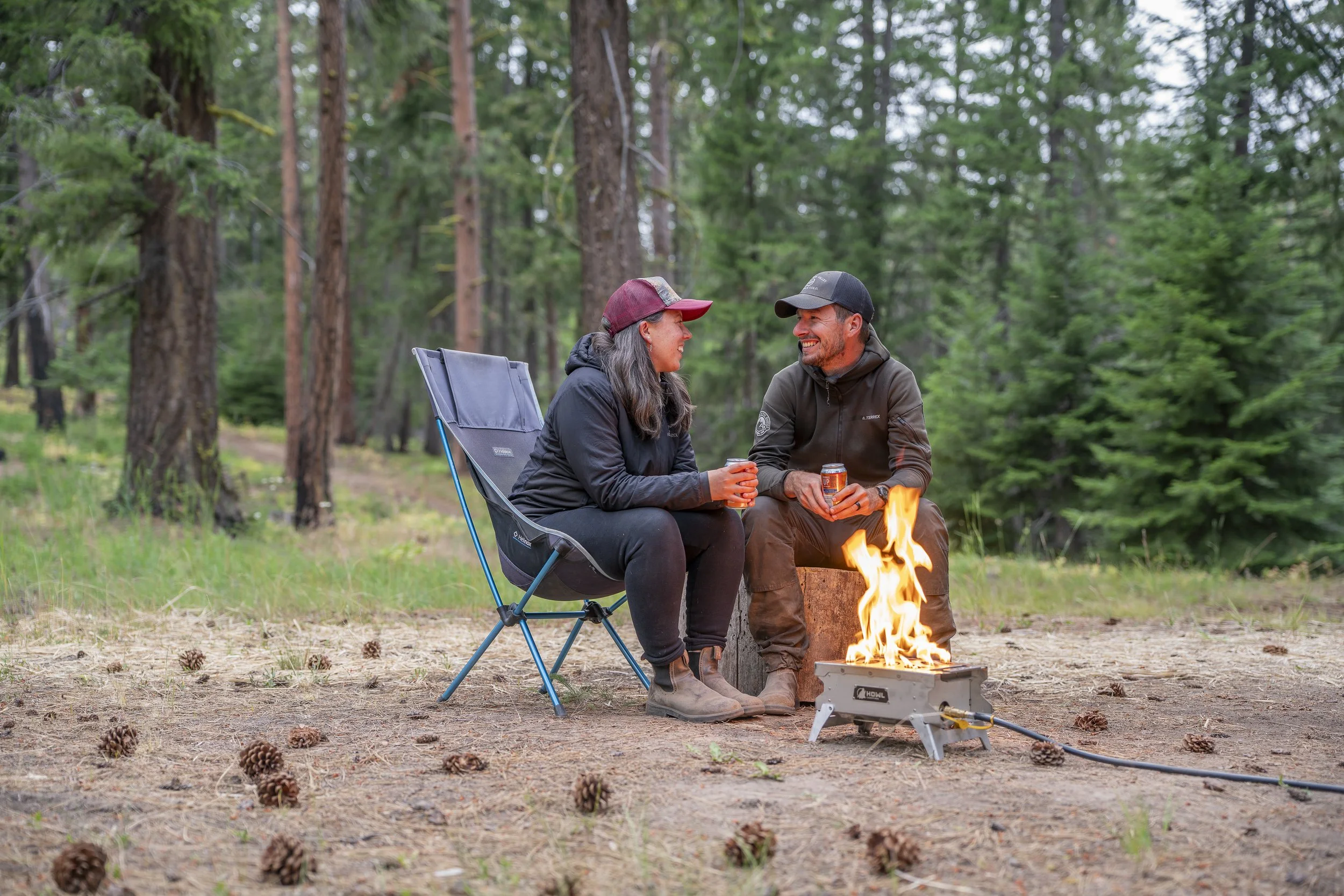
The route passes near enough to towns that if you didn’t want to camp, you’d still have access to motels and restaurants. But for us, camping in beautiful wild places is one of our favorite parts of this kind of travel and adventure. We were able to find quiet, beautiful spots each night with just a little bit of research ahead of time.
With nine nights on the trail, we only ended up staying in an established campground for two of those nights: Takhlakh Lake & Campground and Cold Springs Camp and Viewpoint. The other seven nights we were able to find dispersed wild camping by scouring our maps and with a little bit of luck. Some spots were better than others but thats all part of the adventure!
👉 Check out our blog post: Tips for Finding Amazing Camps

Guler Ice Caves


4x4 Driving
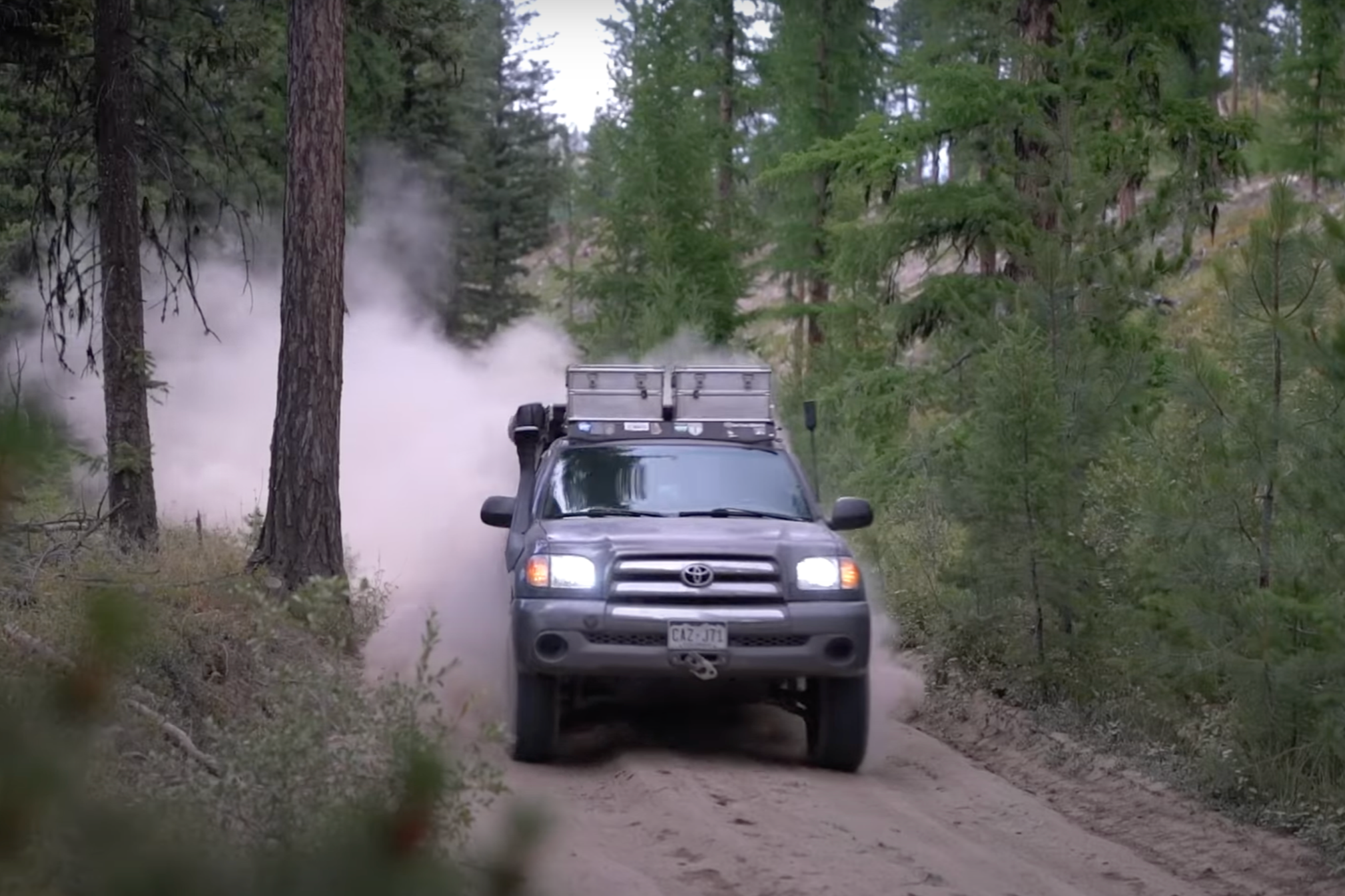
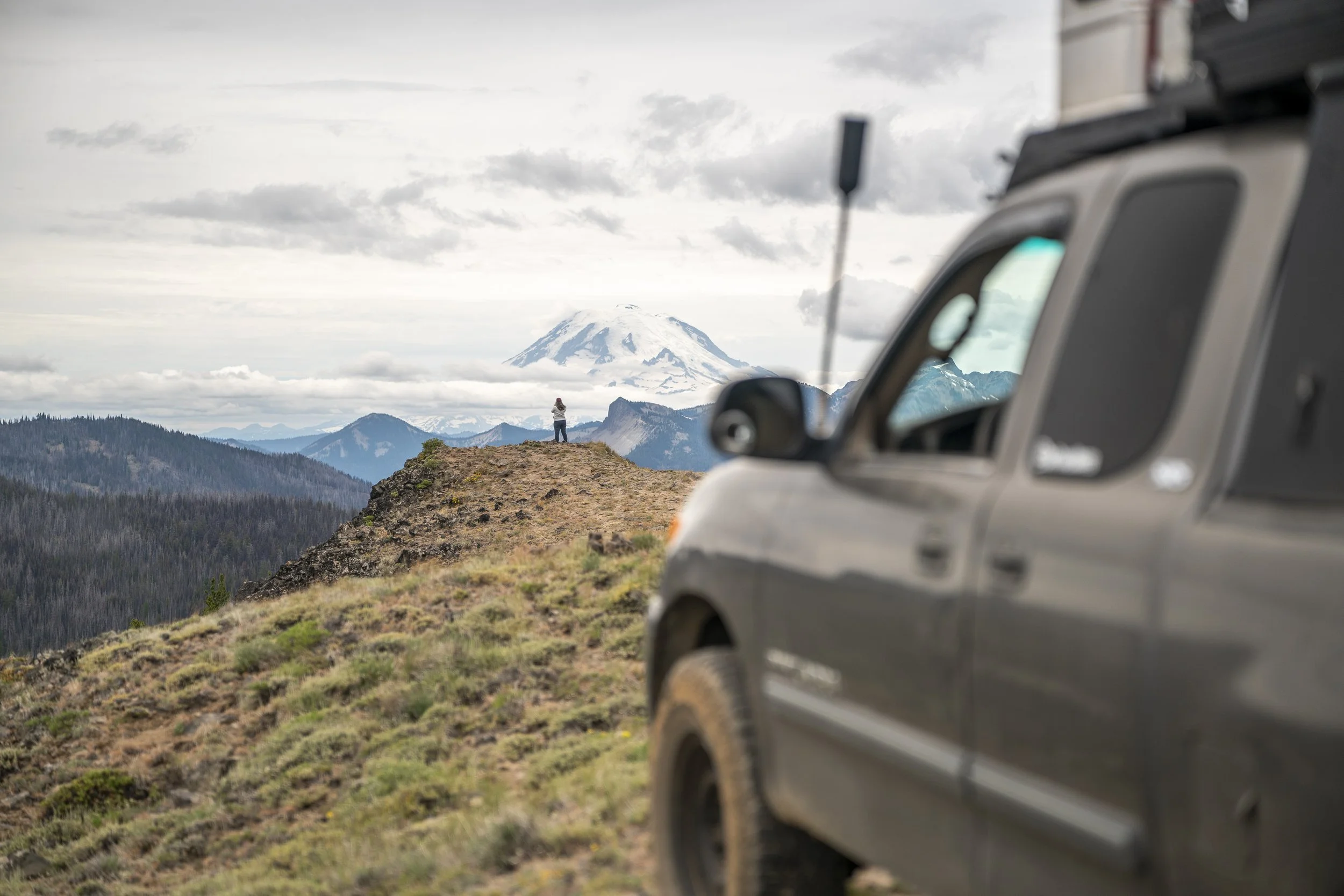
Throughout the WABDR, there are some alternate harder sections for those who are interested in a bit more challenging routes. We ended up driving two of the three alternate harder routes on the WABDR and are so glad that we did because those routes included some of the best views and fun terrain!
However, the most challenging driving that we experienced on the whole WABDR, was not in either of these sections, but rather in section 3 at a sketchy, off-camber stretch of trail known as the Beehive Washout. This section really highlights the difference between adventure motos and 4x4s because the official WABDR page doesn’t even mention it. For motos, it’s no big deal, but when you’re trying to keep four wheels on the ground, it’s a whole different story and this section could easily be a show-stopper.


For a smoother ride and mechanical sympathy on our truck, we aired down our tires whenever we were off-road and in some places like the Beehive Washout, we were were thankful for any additional bit of traction we could get. We were really glad to have our tire deflator and air compressor to make air-down and air-up stops much quicker.
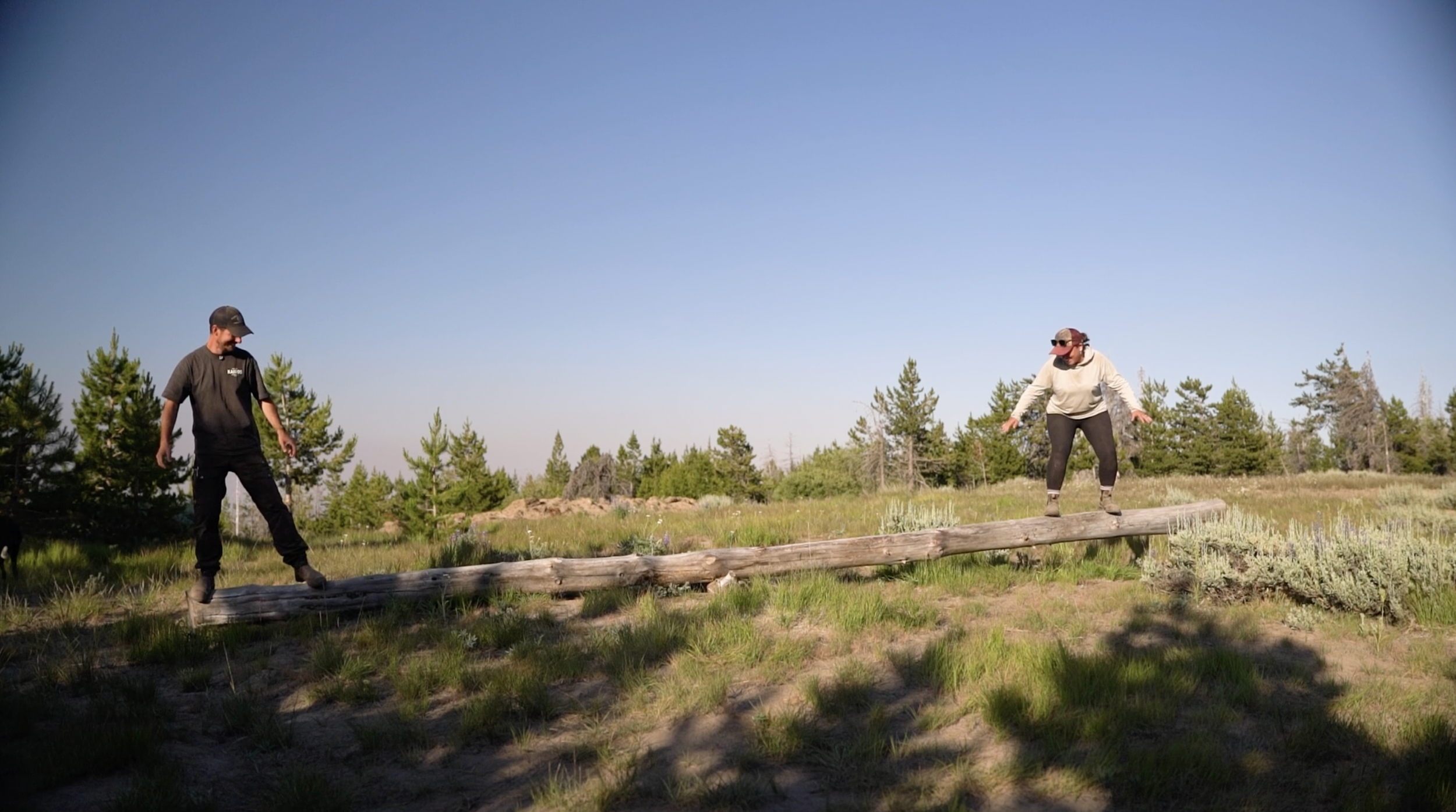
Weather & Wildlife
In general we had really great weather for this trip! Early July brought sunny hot days and some cool nights depending on our elevation. Many days were in the 90s especially around towns and in the valleys so we would try to find camp at higher elevations to escape the heat. Camping up high also meant that we were usually a bit more exposed to the wind and we did have several windy nights camped along ridge lines but the views were generally worth it. We frequently use the Windy.com app to check out the hourly temperature and wind forecasts for the areas would be in to help us determine where we wanted to find camp each night.


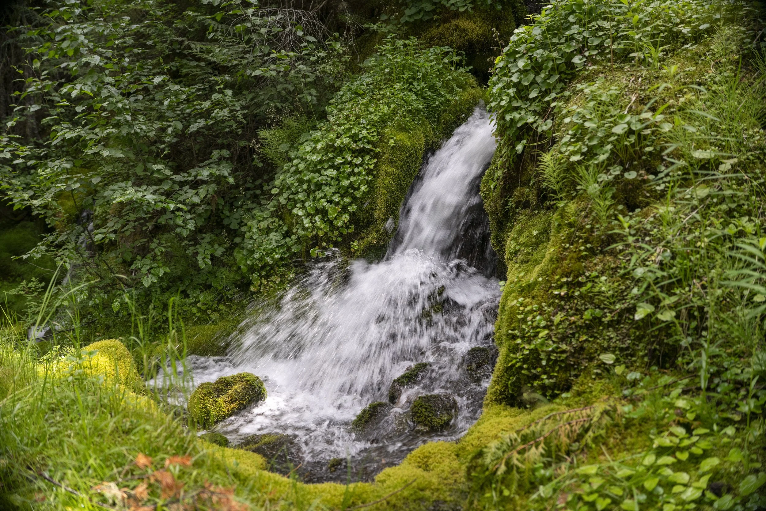
Along the route we were treated to wildflowers, butterflies, lots of birds and a few mama deer with their spotted fawns. Surprisingly the bugs weren’t terrible overall, though we definitely hit some mosquito-heavy zones (Babyshoe Pass was the worst for us). When they were bad, we were really grateful to have our Thermacell and Picaridin spray.


Cost Breakdown
It cost us about $700 to drive the WABDR over 10 days. We were fairly budget conscious and didn’t eat out even though it could have been fun in some of the little towns. Groceries and gas weren’t too hard to come by as the route passes through towns fairly often but we’d recommend stocking up on groceries in the bigger towns when you have the opportunity.
We paid $3 to cross the Bridge of the Gods in southern Washington at the start of the route and then you’ll want to get a Washington Discover Pass ($30) since a lot of the terrain on the WABDR passes through areas where this pass is required.


Gear That Made a Difference
You can check out all of our favorite gear that we use and love on our gear page, but below are the noteworthy items that made a difference on this trip:
Dolores: Our 2003 Toyota Tundra + Go Fast Camper our trusty steed and home-on-wheels
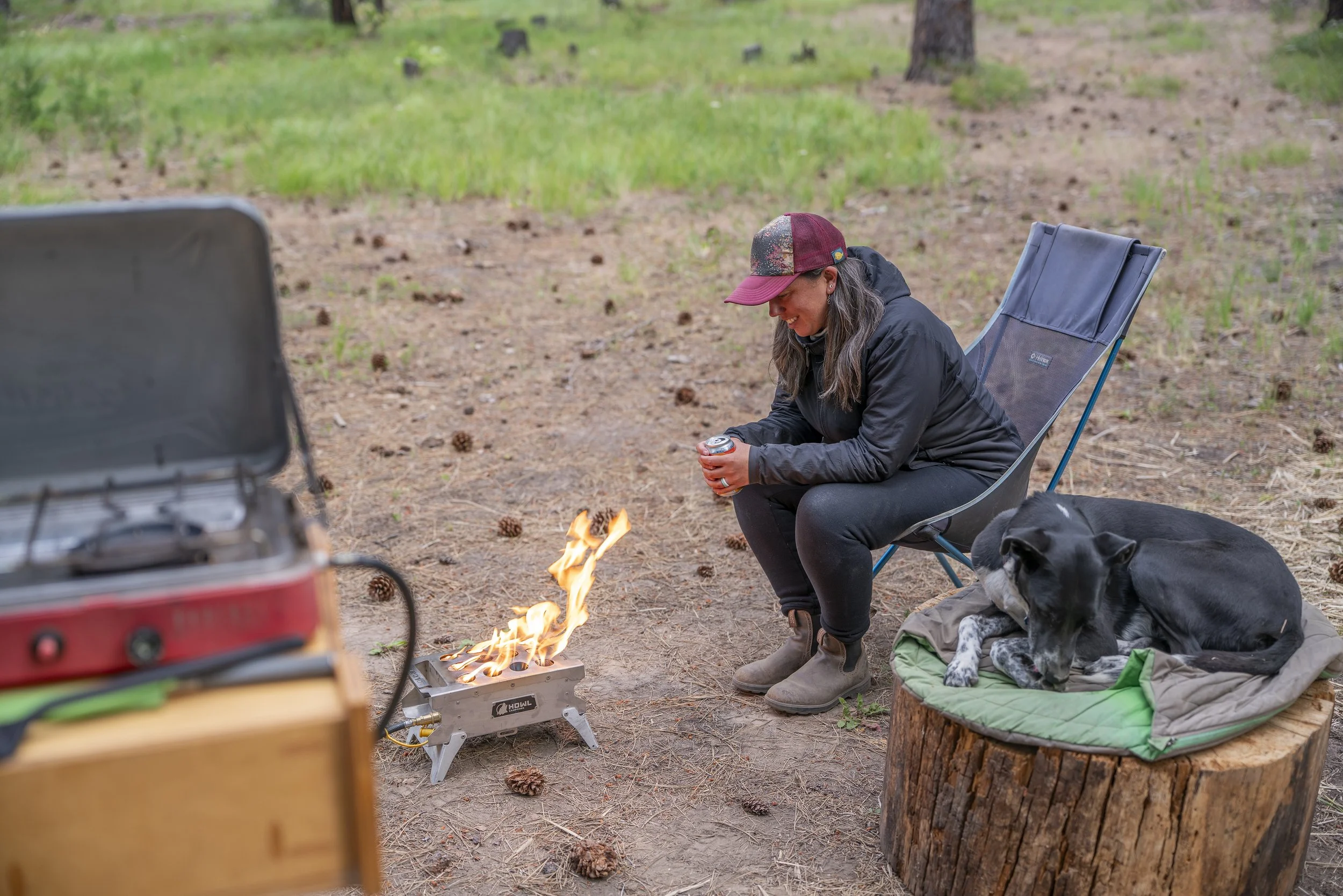
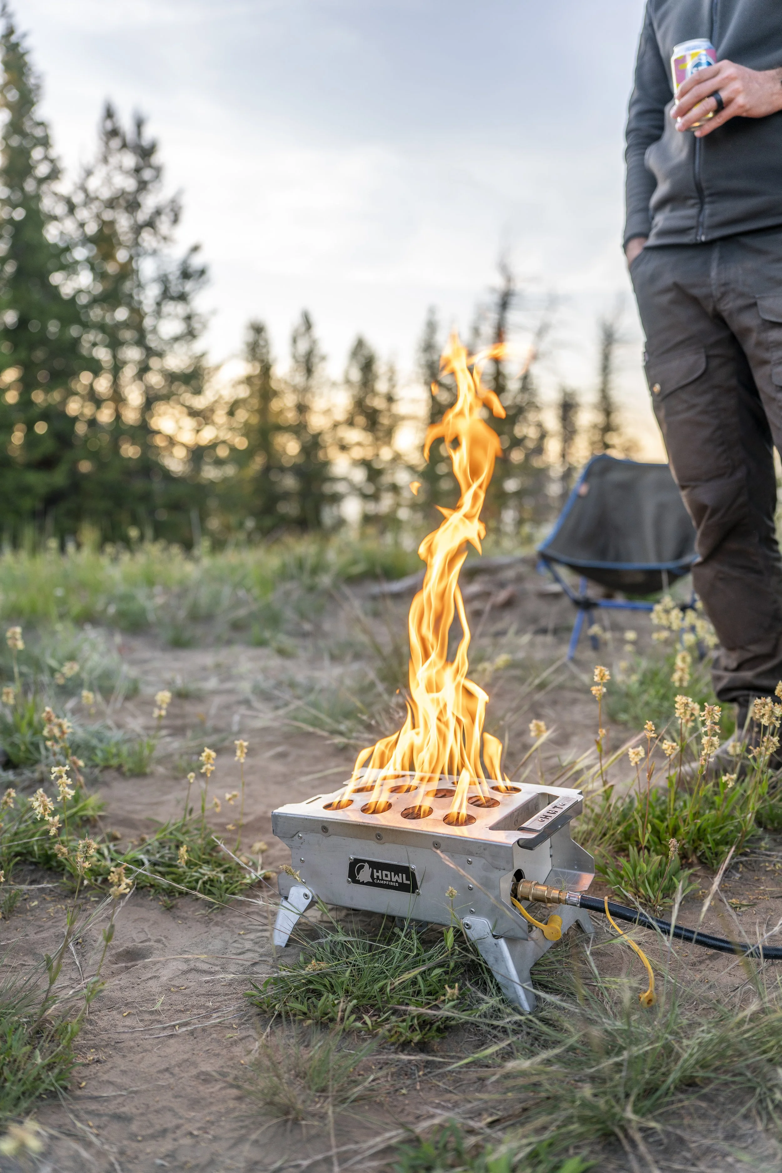
Howl R1 Portable Propane Campfire for cozy and warm evenings at camp
ARB tire deflator for a smoother ride and better traction
VIAIR 400P Portable Compressor Kit to air back up for pavement
BAOFENG handheld radios for spotting and communicating through technical 4x4 sections
Starlink for scouting and planning our next camp spots from the trail (since we didn’t plan ahead of time)
Thermacell and Picardin for bugs
Electric Air Duster to dust off the truck and camper
Kingpin Lightbar to light up our camp kitchen and tailgate in the evenings
Photo/video gear for the memories!


Resources
Below are the main resources that we used before and during our trip:
The BDR Website provides a ton of information on the route overview including GPX downloads, discovery points of interest, and they even have an interactive map. (Just remember their information is geared towards adventure motorcycle riders).
We use Gaia GPS to plan, navigate, and track, all of our routes. We can import downloaded GPX files and view offline maps which make off-grid navigation much easier! Get 10% off when you sign up for a Gaia GPS Premium subscription using our link.
Google Maps is great for in-town navigation and for scouting potential camp spots using satellite view.
We use the Windy.com to check out the hourly temperature and wind forecasts and find it to be quite accurate.
We always strive to be good stewards of the trail and follow the Tread Lightly principles.


Lessons Learned & Final Thoughts
Looking back, our biggest regret from driving the WABDR is that we didn’t slow down. Ten days was technically enough time to finish the route, but not enough to truly experience it. We moved camp every single day, which meant we rarely had time to settle in, explore on foot, or simply sit still and take it all in.
We underestimated how much slower the route would be in a 4x4 compared to motorcycles. Between navigating rough terrain, airing down and up, and stopping for filming or photos, everything just takes longer. If you’re going off the BDR website’s suggested timeline, we’d recommend at least doubling it for a more relaxed 4x4 experience. That’s especially true if you want to hike, rest, or linger in these beautiful places.
Even with the pace feeling a bit rushed, this route left a lasting impression. The landscapes were far more varied and beautiful than we expected: snowy volcanoes, dense pine forests, rugged ridge lines, and wide-open grasslands. It really showcased just how diverse Washington’s terrain can be. We feel like we barely scratched the surface!
The Washington BDR gave us everything we love about this kind of travel: big views, remote roads, quiet camps, a surprise reunion with an old friend, and that deep sense of freedom and adventure that keeps us coming back to trips like this.
If you’re thinking about doing a BDR in your 4x4, we can’t recommend this one enough. We’d absolutely do it again, just a whole lot slower next time.
👋 We’d love to hear from you so let us know your thoughts and any questions you have in the comments below!
We hope to see you out there!

Watch our YouTube video from this trip to see all of our favorite moments from the WABDR!

Want to see more BDR content?
Check out our blog post and images from the Black Hills South Dakota BDR-X
🔗 Some of the links in this blog post are affiliate links, which means we may earn a small commission if you make a purchase, at no extra cost to you. Thanks so much for your support!